-40%
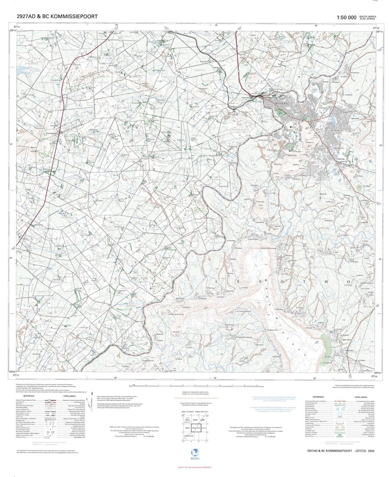
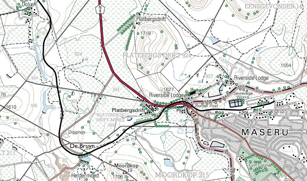
Official Topographic Map of Maseru - Lesotho and South Africa 1;50,000
$ 23.73
- Description
- Size Guide
Description
Official South African Topographic Map of Maseru, Lesotho at the scale of 1:50,000.Surveyed and published by the Chief Directorate: National Geo-spatial Information, Mowbray
Sheet no. 2927AD & BC Kommissiepoort covering the capital of Lesotho - Maseru and the surrounding areas within Lesotho and across the border with South Africa.
Unique, highly detailed topographic map published by the
Government of South Africa in 2012
.
Full-color
digital print.
Sheet size 30 * 23 in.
Map will be shipped folded.
